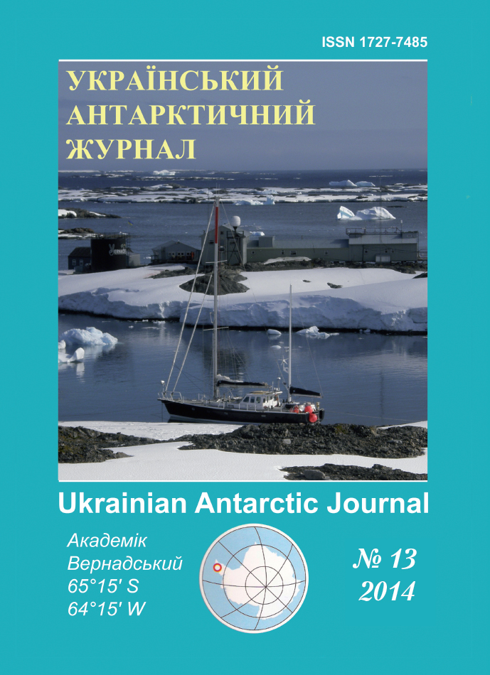
No 13 (2014): Ukrainian Antarctic Journal
Articles
Development of the marine protected area network in the Argentine Islands area (Akademik Vernadsky Antarctic Station, Ukraine)
Published
December 17, 2014
Keywords
- Stella Creek,
- Skua Creek,
- biodiversity,
- underwater landscape,
- IUCN
How to Cite
Utevsky, A. Y., Kolesnykova, M. Y., Shmyrov, D. V., & Sinna, O. I. (2014). Development of the marine protected area network in the Argentine Islands area (Akademik Vernadsky Antarctic Station, Ukraine). Ukrainian Antarctic Journal, (13), 225-231. https://doi.org/10.33275/1727-7485.13.2014.230
Abstract
Based on underwater observations the establishment of marine protected areas in the Stella Creek and Skua Creek straits were proposed. Selection of areas was carried out in accordance with the protocol NAGISA and acoustic bottom survey of the Argentine Islands water area. Descriptions of the marine protected areas were developed and their categories according to IUCN methodology were defined. Сompliance indices calculated according to the IUCN methodology assign the Stella Creek and the Skua Creek MPAs to the IUCN protected categories Ia and III, respectively. 3D models of the marine protected areas were designed.
References
- On Marine Protected Area network in the Akademik Vernadsky Station region. Meeting Document. (2012). SC-CAMLR-XXXI/BG/04.
- The first site of the Marine Protected Area network in the Akademik Vernadsky Station region: Argentine Islands, Skua Creek. Meeting Document. (2012). WG-EMM-12/25
- Iken, K., & Konar, B. (2003). Natural geography in nearshore areas (NAGISA): The nearshore component of the Census of Marine. Gayana, 67(2), 153-160.
- Rigby, P.R., Iken, K., & Shirayama, Y. (Eds). (2007). Sampling Biodiversity in Coastal Communities: NAGISA Protocols for Seagrass and Macroalgal Habitats: A NAGISA Handbook. Singapore University Press Proprietary, Limited.
- Murray, S.N., Ambrose, R.F., & Dethier, M.N. (2006). Monitoring Rocky Shores. University of California Press.
- Salm, R.V., Clark, J., & Siirila, E. (2000). Marine and Coastal Protected Areas: A guide for planners and managers. Washington, DC, IUCN.
- Dudley, N. (Ed.). (2008). Guidelines for Applying Protected Area Management Categories. Gland, Switzerland, IUCN.
- De Fontaubert, A.C., Downes, D.R., & Agardy, T.S. (1996). Biodiversity in the Seas: Implementing the Convention on Biological Diversity in Marine and Coastal Habitats. IUCN Gland and Cambridge.
- IUCN World Commission on Protected Areas (IUCN-WCPA). (2008). Establishing Marine Protected Area Networks—Making It Happen. Washington, D.C., IUCN-WCPA, National Oceanic and Atmospheric Administration and the Nature Conservancy.
- Milkov, F.N. (1967). About the division of the landscaped areas of the Earth into sections and classes of landscapes. Zemlevedenie, М, V.VII.
- Musard, O., Le De-Blayo, L., Francour, P., Beurier, J.-P., Feunteun, E., & Talassinos, L. (2014). Underwater Seascapes: From geographical to ecological perspectives. Springer.

