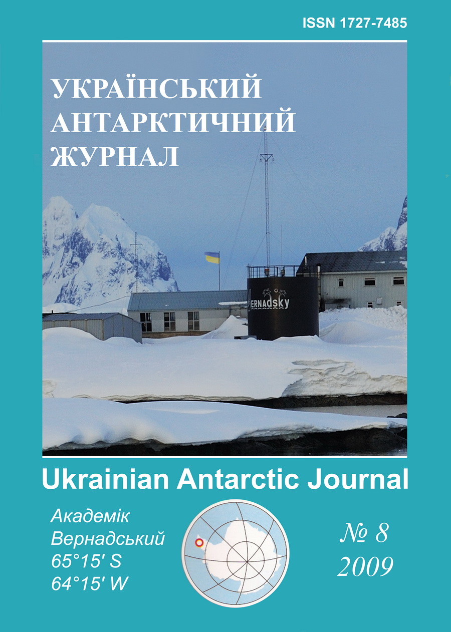
No 8 (2009): Ukrainian Antarctic Journal
Articles
Published
December 16, 2009
How to Cite
Greku, R. K., Gozhik, P. F., Litvinov, V. A., Usenko, V. P., & Greku, T. R. (2009). Atlas of the Antarctic deep structure with the Gravimetric Tomography. Ukrainian Antarctic Journal, (8), 43-46. https://doi.org/10.33275/1727-7485.8.2009.431
Abstract
Atlas of the Antarctic deep structure with the Gravimetric Tomography / Greku R.Kh., Gozhik P.F., Litvinov V.A., Usenko V.P., Greku T. R.; – Kiev, 2009. – 69 pp. – ISBN 978-966-02-4937-0.
The Atlas contains results of a deep structure modeling of the Antarctic and the South Ocean regions. Initial data are spherical harmonics of the EGM96 global geoid model. Dense heterogeneities are calculated using the gravimetric tomography technology. 3D images of vertical and lateral sections on different depths are presented. Proceeding compiling, computer design: “Geographika”.
References
- Bijwaard H., Spakman W., & Engdahl, E. R. (1998). Closing the gap between regional and global travel time tomography. Journal of Geophysical Research: Solid Earth, 103(B12), 30055-30078.
- Greku, R.Kh., Usenko, V.P., & Greku, T.R. (2006). Geodynamic Features and Density Structure of the Earth's Interior of the Antarctic and Surrounded Regions with the Gravimetric Tomography Method. In:. D. K. Fütterer, D. Damaske, G. Kleinshmidt, H. Miller, & F. Tessensohn (Eds.), Antarctica - Contributions to global earth sciences (pp. 369-375). Springer, Berlin Heidelberg New York.
- Moritz, H. (1990). The Figure of the Earth. Theoretical Geodesy and the Earth's Interior. Wichmann, Karlsruhe.
- Brown, R.D., Khan, W.D., & McAdoo, D.C., & Himwich, W.E. (1983). Roughness of the Marine Geoid from altimetry. Journal of Geophysical Research: Oceans, 88(C3), 1531-1540.
- Gahagan, L.M., Scotese, C.R., Royer, J-Y., Sandwell, D.T., Winn, J. K., Tomlins, R.L., Ross, M.I., Newman, J.S., Muller, D., Mayes, C.L., Lawyer, L.A., & Heubeck, C. (1988). Tectonic fabric map of the ocean basin from satellite altimeter data. Tectonophysics, 155, 1-26.
- Gainanov, A.G. (1981). Geology and Geophysics of the Eastern Indian Ocean Floor (by the 54 and 58 cruises data of the RV Vityaz). Moscow, Nauka. (in Russian).
- Allan, R.R. (1975). Depth of sources of gravity anomalies. Nature: Physical Science, 236(63), 22-23.
- Greku, R.Kh., & Greku, D.R. (2008). Interaction of Antarctica with other regions at different spatial scales and deep layers. In: A.K. Cooper, P.J. Barrett, H. Stagg, B. Storey, E. Stamp, W. Wise, and the 10th ISAES editorial team (Eds.). Antarctica: A Keystone in a Changing World. Proceedings of the 10th International Symposium on Antarctic Earth Sciences. Washngton, DC: The National Academics Press. Online Proceedings (http://pubs.usgs.gov/of/2007/1047/).
- Greku, R.Kh., Greku, T.R. (2008). Deep structure of the Antarctic Plate's boundary zone by the gravimetric tomography method. In: A.K. Cooper, P.J. Barrett, H. Stagg, B. Storey, E. Stamp, W. Wise, and the 10th ISAES editorial team (Eds.). Antarctica: A Keystone in a Changing World. Proceedings of the 10th International Symposium on Antarctic Earth Sciences. Washngton, DC: The National Academics Press. Online Proceedings (http://pubs.usgs.gov/of/2007/1047/).

