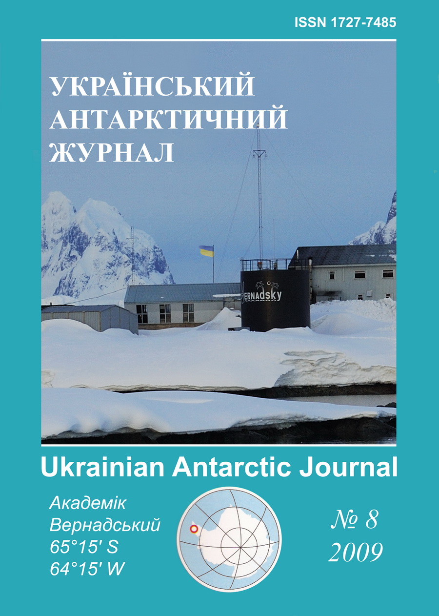
№ 8 (2009): Український антарктичний журнал
Articles
Опубліковано
December 16, 2009
Як цитувати
Греку, Р. К., Гожик, П. Ф., Литвинов, В. А., Усенко, В. П., & Греку, Т. Р. (2009). Атлас глибинної будови Антарктики за даними методу гравіметричної томографії. Український антарктичний журнал, (8), 39-42. https://doi.org/10.33275/1727-7485.8.2009.430
Анотація
Атлас містить результати моделювання глибинної будови Антарктики і регіонів Південного океану. Вихідними даними є сферичні гармоніки глобальної моделі геоїда EGM96. Щільністні неоднорідності розраховані використовуючи метод гравіметричної томографії. Представлені зображення 3Д вертикальних і латеральних розрізів на різних глибинах. Комп'ютерна верстка, макетування: підприємство "Географіка".
Посилання
- Bijwaard H., Spakman W., & Engdahl, E. R. (1998). Closing the gap between regional and global travel time tomography. Journal of Geophysical Research: Solid Earth, 103(B12), 30055-30078.
- Greku, R.Kh., Usenko, V.P., & Greku, T.R. (2006). Geodynamic Features and Density Structure of the Earth's Interior of the Antarctic and Surrounded Regions with the Gravimetric Tomography Method. In:. D. K. Fütterer, D. Damaske, G. Kleinshmidt, H. Miller, & F. Tessensohn (Eds.), Antarctica - Contributions to global earth sciences (pp. 369-375). Springer, Berlin Heidelberg New York.
- Moritz, H. (1990). The Figure of the Earth. Theoretical Geodesy and the Earth's Interior. Wichmann, Karlsruhe.
- Brown, R.D., Khan, W.D., & McAdoo, D.C., & Himwich, W.E. (1983). Roughness of the Marine Geoid from altimetry. Journal of Geophysical Research: Oceans, 88(C3), 1531-1540.
- Gahagan, L.M., Scotese, C.R., Royer, J-Y., Sandwell, D.T., Winn, J. K., Tomlins, R.L., Ross, M.I., Newman, J.S., Muller, D., Mayes, C.L., Lawyer, L.A., & Heubeck, C. (1988). Tectonic fabric map of the ocean basin from satellite altimeter data. Tectonophysics, 155, 1-26.
- Gainanov, A.G. (1981). Geology and Geophysics of the Eastern Indian Ocean Floor (by the 54 and 58 cruises data of the RV Vityaz). Moscow, Nauka. (in Russian).
- Allan, R.R. (1975). Depth of sources of gravity anomalies. Nature: Physical Science, 236(63), 22-23.
- Greku, R.Kh., & Greku, D.R. (2008). Interaction of Antarctica with other regions at different spatial scales and deep layers. In: A.K. Cooper, P.J. Barrett, H. Stagg, B. Storey, E. Stamp, W. Wise, and the 10th ISAES editorial team (Eds.). Antarctica: A Keystone in a Changing World. Proceedings of the 10th International Symposium on Antarctic Earth Sciences. Washngton, DC: The National Academics Press. Online Proceedings (http://pubs.usgs.gov/of/2007/1047/).
- Greku, R.Kh., Greku, T.R. (2008). Deep structure of the Antarctic Plate's boundary zone by the gravimetric tomography method. In: A.K. Cooper, P.J. Barrett, H. Stagg, B. Storey, E. Stamp, W. Wise, and the 10th ISAES editorial team (Eds.). Antarctica: A Keystone in a Changing World. Proceedings of the 10th International Symposium on Antarctic Earth Sciences. Washngton, DC: The National Academics Press. Online Proceedings (http://pubs.usgs.gov/of/2007/1047/).

