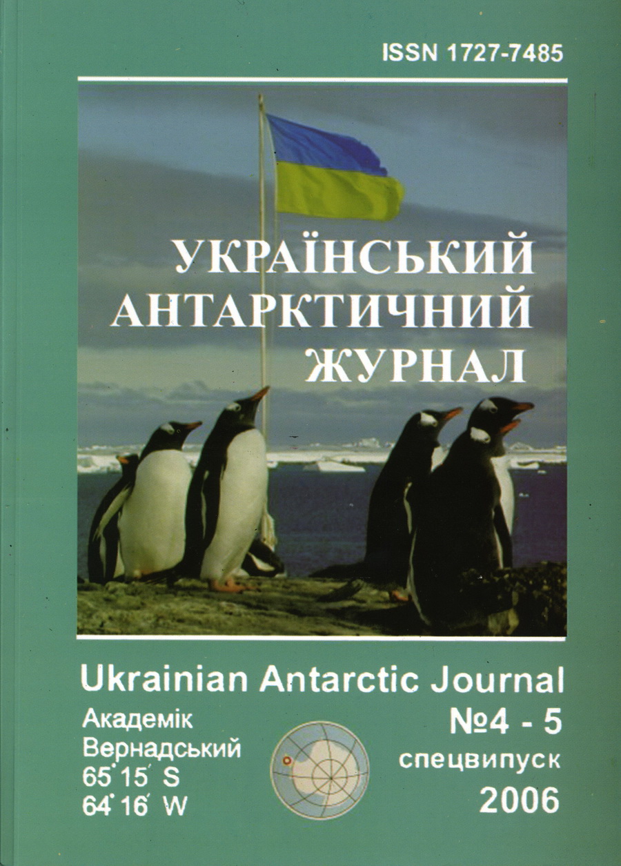
№ 4-5 (2006): Український антарктичний журнал
Articles
Опубліковано
December 15, 2006
Як цитувати
Литвинов, В., Глотов, В., Колб, І., & Чижевський, В. (2006). Аналіз картографічного забезпечення для створення ГІС антарктичної станції Вернадського. Український антарктичний журнал, (4-5), 14-20. https://doi.org/10.33275/1727-7485.4-5.2006.519
Анотація
У статті поданий аналіз сучасних топокартографічних матеріалів для регіона антарктичної станції "Академік Вернадський" з метою використання їх для створення геоінформаційної системи. Підкреслюється, що пріоритет мають мати великі топографічні плани, створені на територіях, де виконуються основні наукові дослідження. Це обумовлено тим, що на таких картматеріалах можна точніше визначити координати об'єктів дослідження, зпроєктувати експериментально-дослідницькі роботи. Надані проєкти подальших картографічних робіт в районі станції.
Посилання
- Hlotov, V. (2004). Tekhnolohiia tsyfrovoi fototeodolitnoi ziomky dlia skladannia topohrafichnykh planiv u masshtabi 1:1000 antarktychnoi stantsii Vernadskoho. [Technology of digital phototheodolite survey for drawing up topographic plans on a scale of 1: 1000 of Vernadsky Antarctic station]. Zb. nauk. prats ZGHT «Suchasni dosiahnennia heodezychnoi nauky ta vyrobnytstva». Leningrad, Liha-Pres, 264–268.
- Hlotov, V.M., & Kolb, I.Z. (2006). Kontseptsiia stvorennia HIS Antarktychnoi stantsii Vernadskoho. [The concept of creating a GIS of the Vernadsky Antarctic Station]. Zb. nauk. Prats ZGHT «Suchasni dosiahnennia heodezychnoi nauky ta vyrobnytstva», 124–129.
- Greku, R.X. (2000). Issledovanie po mezhdunarodnomu proektu SKAR «Geodezicheskaya infrastruktura v Antarktide». [Study on the international SCAR project "Geodetic infrastructure in Antarctica"]. Bulletin UAC, 3, 141–149.
- Yus`kevich, A.V. (2000). Topograficheskie s``emki v Antarktide. [Topographic surveys in Antarctica]. Geodeziya i kartografiya, 6, 12–16.
- Dorozhynskyy, O., Minilevskyy, H., & Hlotov, V. (2004). Photogrammetric research conducted at the Antarctic station «Academican Vernadskyy». XXth ISPRS-2004 Congress, 12–23 July 2004. Istambul, Turkey. P.642–644.
- Ваrrigа Rodrigo, M.J., Villanuela, V., Klotz, J., & Bevis, M. (2001). Geodesy and digital cartographic survey in Fildes Peninsula, Rey Jorge Island, Antarctica. Geo-spоt. Inf. Sci., 2, 57–62.

